 F-2 MISSIONS
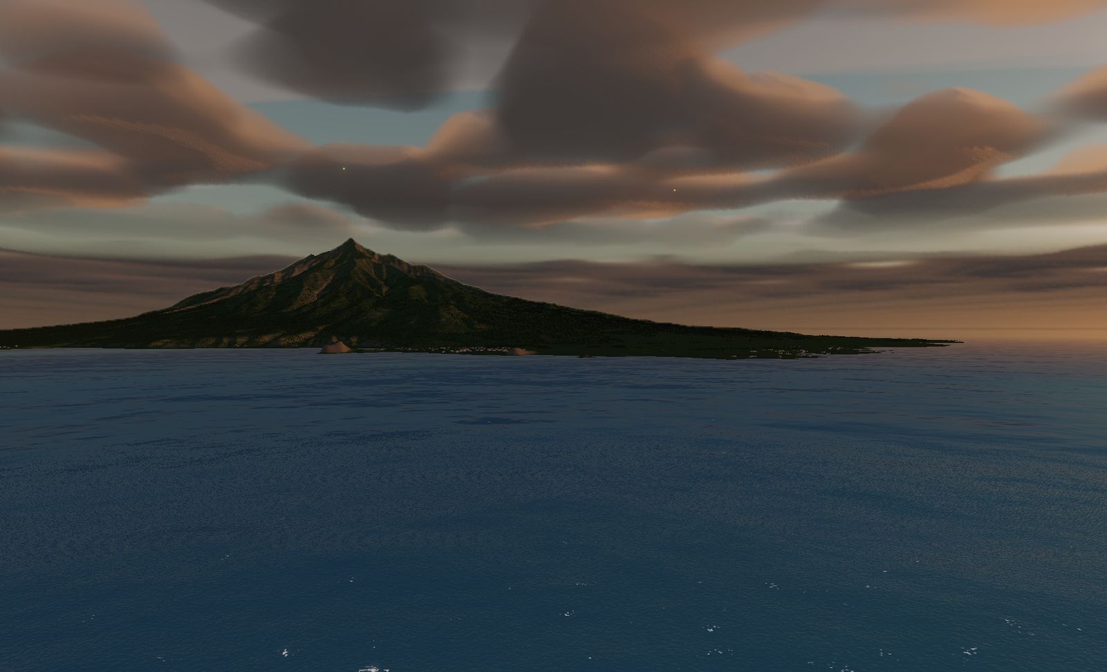
Rishiri Island
A round island 19 km across in Japan's northernmost waters. A free-standing volcano that goes from sea level to 1,721 m — the island is the mountain.
DATA
- Location
- Rishiri district, Hokkaido
- Area built
- 25.9 km square
- Elevation
- Sea level to 1,720 m (measured)
- Highest point
- Mount Rishiri, 1,721 m — "Rishiri Fuji"
- Island size
- About 19 km across
Sea and land in a single tile. This is the largest area built for any terrain in the game.
The place
Rishiri Island, off the northwest coast of Hokkaido in the Sea of Japan. It is nearly circular, about 19 km across, with Mount Rishiri (1,721 m) at its centre.
A free-standing stratovolcano with nothing nearby to compete with it, it rises from sea level to 1,721 m with nothing in the way — which is why it is called “Rishiri Fuji”. On a clear day, almost the whole island is visible from the summit.
The terrain we built
25.9 km square: the widest area of any terrain here.
The reason is that this ground has to hold both the sea and the island in one piece. Other mountain terrains can crop a patch of land; an island is not an island unless the water goes all the way around it. Surf breaks along the shoreline, and everything inside it lifts at once.
What it is like to fly
You see the island long before you reach it. There are no landmarks over open water, so the approach is a triangle appearing on the horizon and slowly growing.
Once you are on it, the mountain blocks every direction at once. Come round either way and you cannot see what is on the far side. It is neither Aso’s closed circle nor a gorge’s single corridor — it is terrain you work around.
This is the northernmost sky in the game, and in summer the twilight lasts a long time.
The terrain included varies by edition and platform. See the description of each edition for details.
Elevation data: Geospatial Information Authority of Japan (GSI)