 F-2 MISSIONS
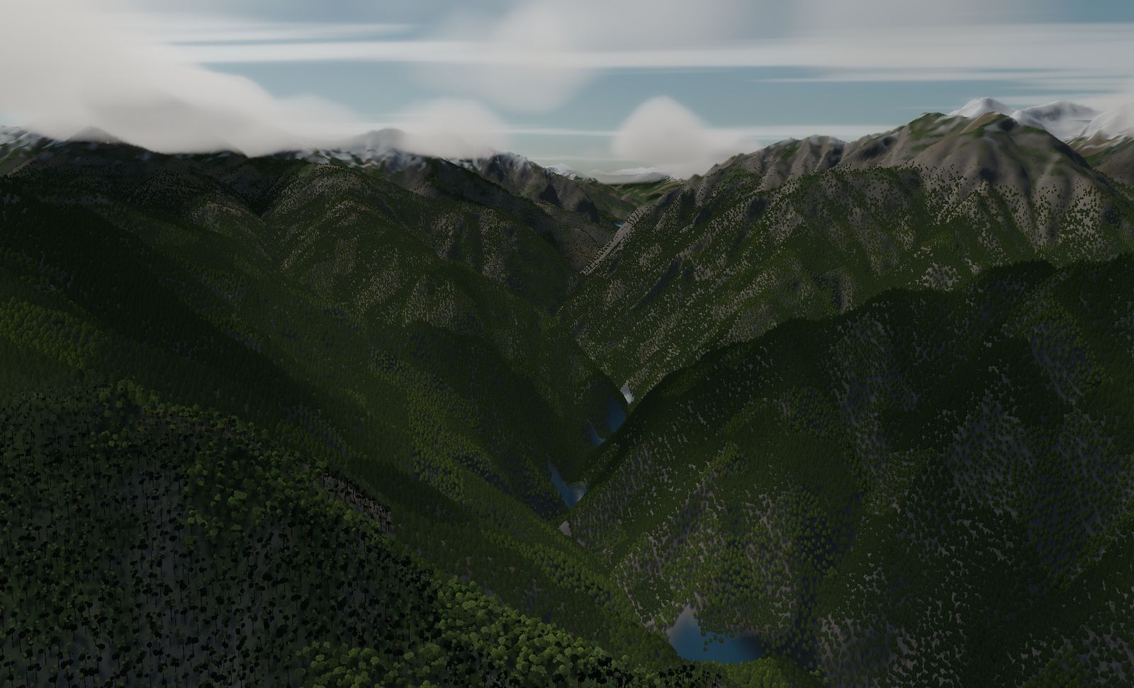
Kurobe Gorge
One of Japan's three great gorges. Walls rising 1,800 m on both sides of a V-shaped valley, followed upstream along the river. The gateway to low-level flying.
DATA
- Location
- Toyama prefecture — upper Kurobe river, Tateyama range
- Area built
- 7.9 km square
- Elevation
- 719 m to 2,517 m (measured)
- Relief
- About 1,800 m floor to ridge
Real terrain in F-2 MISSIONS started in this valley. The pipeline that turns national elevation tiles into flyable ground was worked out on Kurobe.
The place
The upper Kurobe river in Toyama prefecture — counted among Japan’s three great gorges, and a deep V-shaped valley. The floor sits at 719 m and the ridges reach 2,517 m: about 1,800 m of relief.
Because the area has been surveyed by airborne laser for erosion-control work, the elevation data has almost no gaps. It is one of the most precisely mapped valleys in the country.
The terrain we built
7.9 km square. The width of the valley and the height of its walls are reproduced at their real dimensions.
Down on the floor, the ridges are higher than the cockpit. Climb and you leave the valley; stay low and the walls close in. This is the place where the feeling of terrain itself being the constraint comes through most plainly.
What it is like to fly
You enter from the seaward end and work upstream along the river. The river tells you where the turns are — follow the ribbon of water and you can always see which way to bank next.
But in a V-valley, losing speed is what kills you. Bank harder and your stall speed rises; once it has risen past your airspeed, the only escape is upward. Upward is where the walls are.
The terrain included varies by edition and platform. See the description of each edition for details.
Elevation data: Geospatial Information Authority of Japan (GSI)