 F-2 MISSIONS
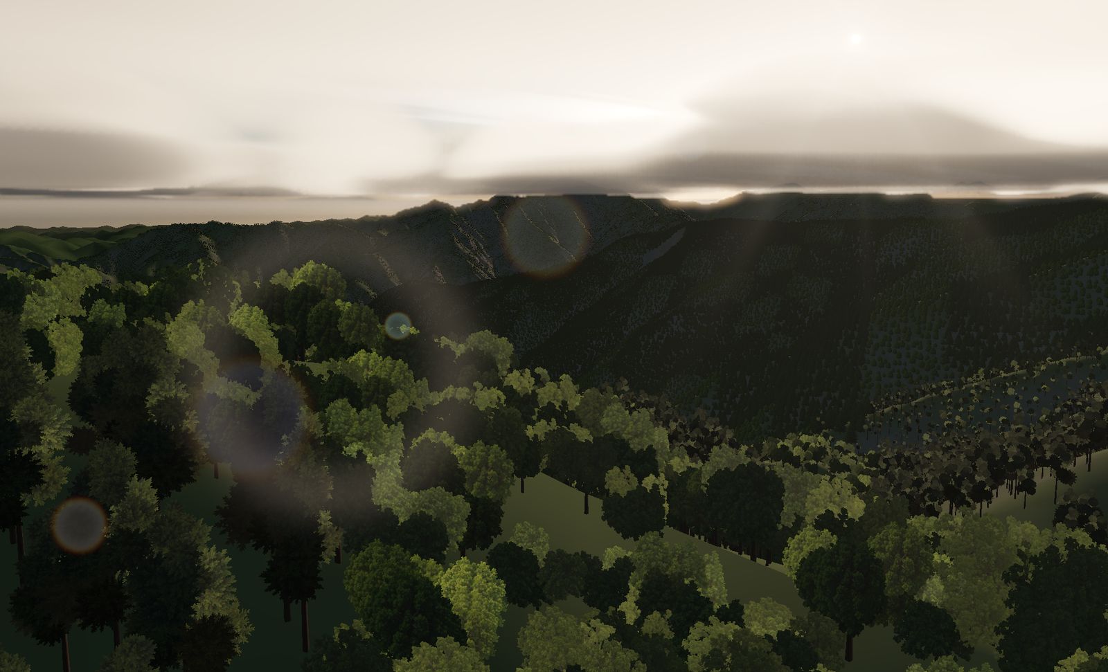
Southern Alps — Ōi Headwaters
Deep in the Akaishi range at the head of the Ōi river. You enter over a reservoir and climb as the valley climbs — and it is always upstream that the outs run out.
DATA
- Location
- Shizuoka prefecture — Ōi river headwaters, Akaishi range
- Area built
- 8.0 km square
- Elevation
- 669 m to 2,142 m (measured)
- Character
- A climbing valley — the ground rises as you go upstream
The valley that comes after Kurobe. Same idea — follow the river — except that here you are going uphill.
The place
The headwaters of the Ōi river in Shizuoka prefecture, in the heart of the Akaishi range (the Southern Alps). From the Hatanagi reservoir the valley narrows as it climbs.
Measured elevations run from 669 m to 2,142 m. The walls are not as sheer as Kurobe’s, but what defines this ground is that ridge stacks behind ridge until depth becomes hard to read.
The terrain we built
8.0 km square. Conifer and broadleaf forest mix across the slopes, changing colour with altitude.
Haze pools in the valley morning and evening. Backlit ridgelines wash out and distance stops registering, so you get the specific problem of seeing something clearly and having no idea how far away it is.
What it is like to fly
You enter over the reservoir surface and follow the river up. The difference from Kurobe is that the ground comes up to meet you. Hold what feels like a steady altitude and your height above the ground quietly decreases.
And it is always upstream that the outs run out. The entrance is wide; the deeper you go, the narrower it gets. The decision to turn back is one you make before it is tight, not after.
The terrain included varies by edition and platform. See the description of each edition for details.
Elevation data: Geospatial Information Authority of Japan (GSI)